Log in
All resources
Create a design
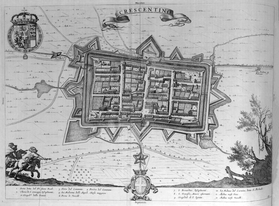
5,541 Free Images of Map Jet
maps
engraving
grabados
cartography
fondo antiguo
cartografía
chalcography
calcografía
libros del siglo xvii
cartografía, mapas | cartography, maps
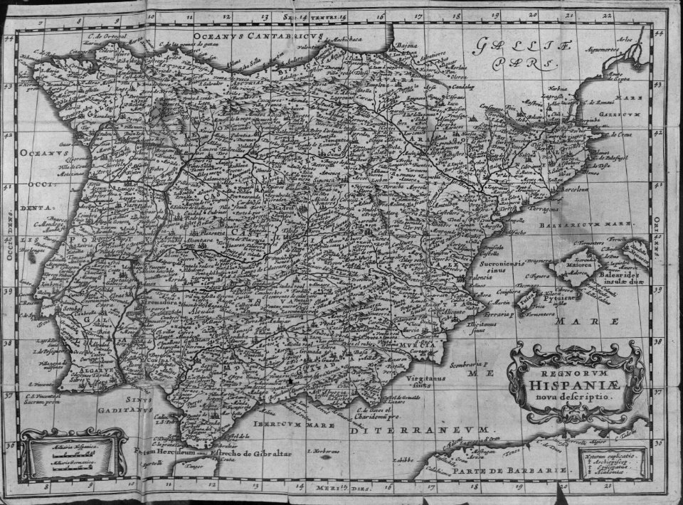
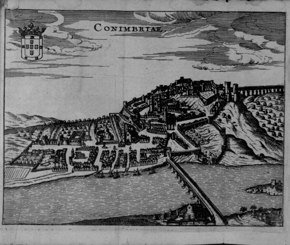
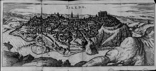
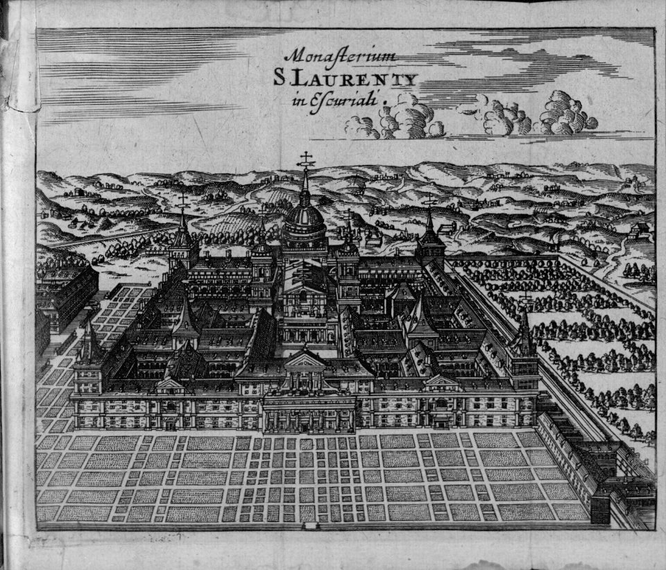
cartography
maps
cartography
maps
cartography
maps
cartography
maps
cartography
maps
cartography
maps
cartography
maps
cartography
maps
cartography
maps
cartography
maps
cartography
maps
cartography
maps
cartography
maps
cartography
maps
cartography
maps
cartography
maps
cartography
maps
cartography
maps
cartography
maps
cartography
maps
cartography
maps
cartography
maps
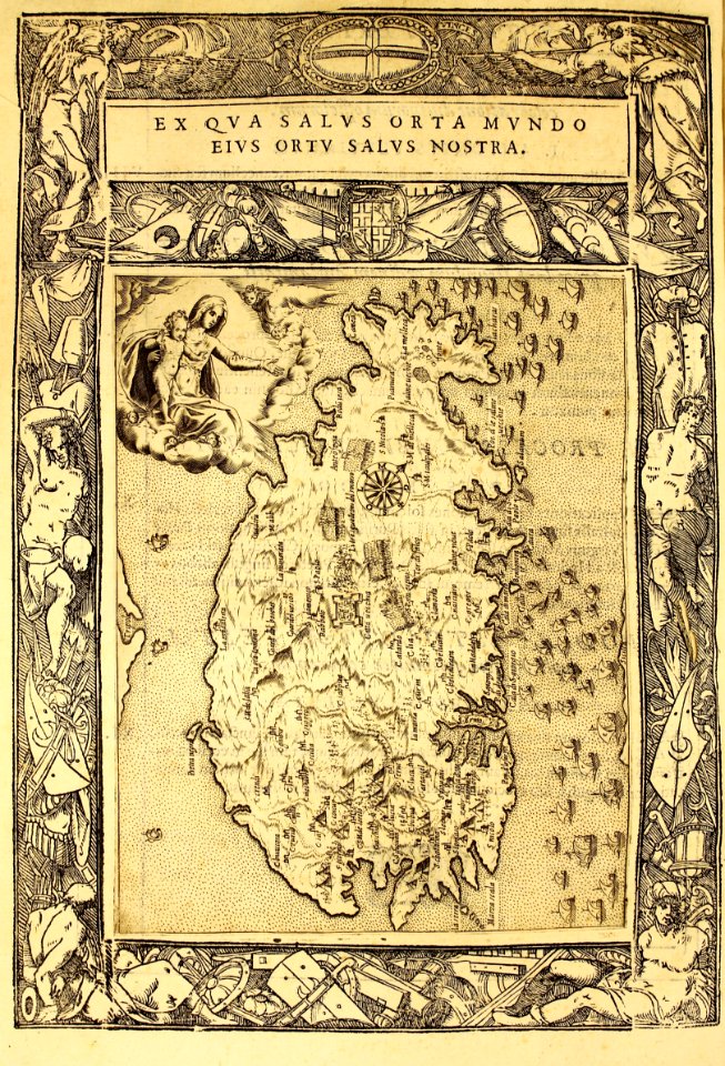
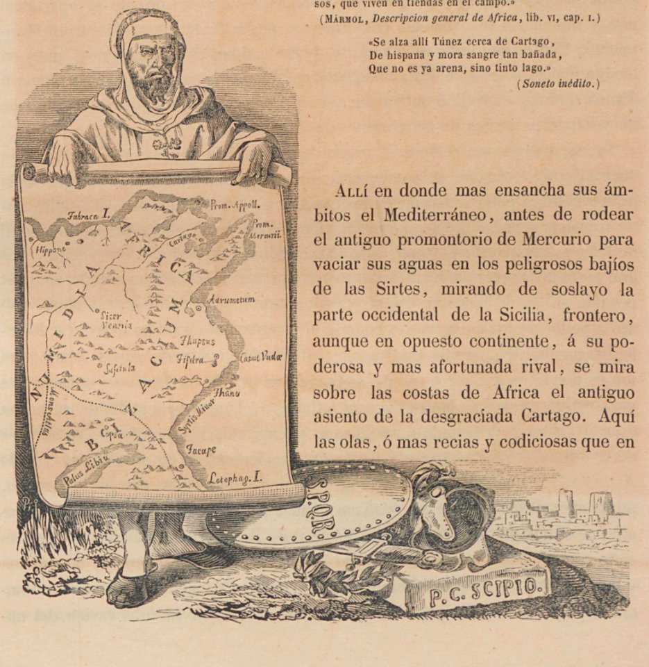
tunisia
maps
cartography
maps
lawrence h. slaughter collection of english maps, charts, globes, books and atlases
nypl lionel pincus and princess firyal map division
military
maps
maps of ancient israel by philippe de la rué
map of modern syria by philippe de la rué
bird's-eye views of paris
1860 in paris
self-published work
city
aircraft
vehicle
the voyages made by the sieur d. b. to the islands dauphine or madagascar and bourbon or mascarenne in the years 1669, 70, 71 and 72 (1897)
1667 map of madagascar by guillaume sanson
brazilian paintings in the museu antônio parreiras
pedro ii of brazil and empress teresa cristina
maps from the mechanical curator collection available to georeference
maps from the mechanical curator collection
nypl lionel pincus and princess firyal map division
geographical atlases
aircraft
vehicle
self-published work
pages with maps
plan de paris levé par les ordres du roy, 1900
proletarian literature
aircraft
aviation
africa
bird
a map of the provinces of new york and new jersey, with a part of pennsylvania and the province of quebec
lawrence h. slaughter collection of english maps, charts, globes, books and atlases
dinosaur
mammals
maps
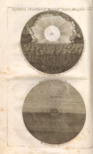
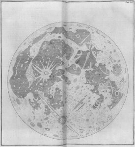
moon
cartography
maps
cartography
maps
cartography
maps
cartography
maps
swords
maps
cartography
maps
cartography
maps
bird's-eye views of paris
1860 in paris
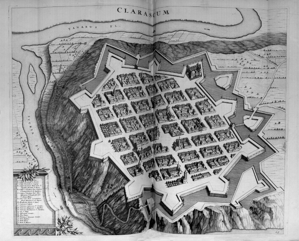
map of prague by joseph daniel huber
romantic music
an accurate map of england and wales , drawn from all the particular surveys hitherto publish'd. illustrated with many additional improvements, and regulated by numerous astronomical observations made by... - btv1b53181614s
maps by thomas kitchin
an accurate map of england and wales , drawn from all the particular surveys hitherto publish'd. illustrated with many additional improvements, and regulated by numerous astronomical observations made by... - btv1b53181614s
maps by thomas kitchin
military
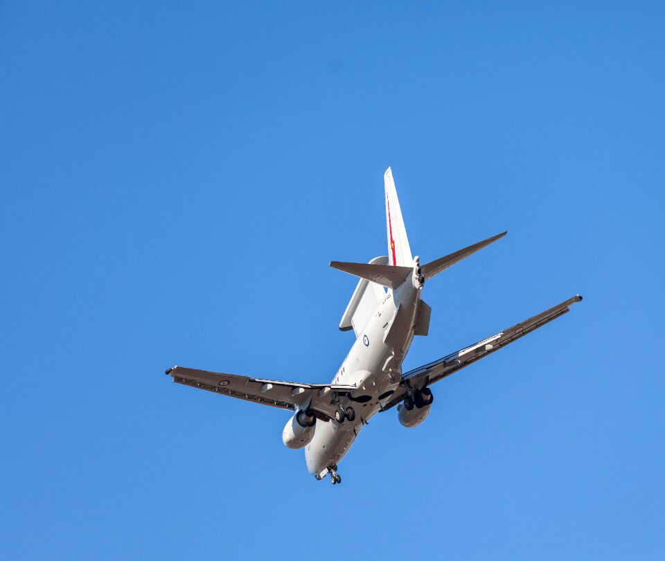
aircraft
aircraft
vehicle
aircraft
vehicle
aircraft
flight
cartography
maps
cartography
maps
cartography
maps
cartography
maps
cartography
maps
cartography
maps
cartography
maps
cartography
maps
cartography
maps
cartography
maps
cartography
maps
cartography
maps
cartography
maps
military
aircraft
aircraft
aviation
self-published work
pages with maps
aircraft
flight
military
vehicle
cartography
maps
cartography
maps
illustration
book
cartography
maps
cartography
maps
cartography
maps
cartography
maps
military
vehicle
aircraft
aviation
aircraft
vehicle
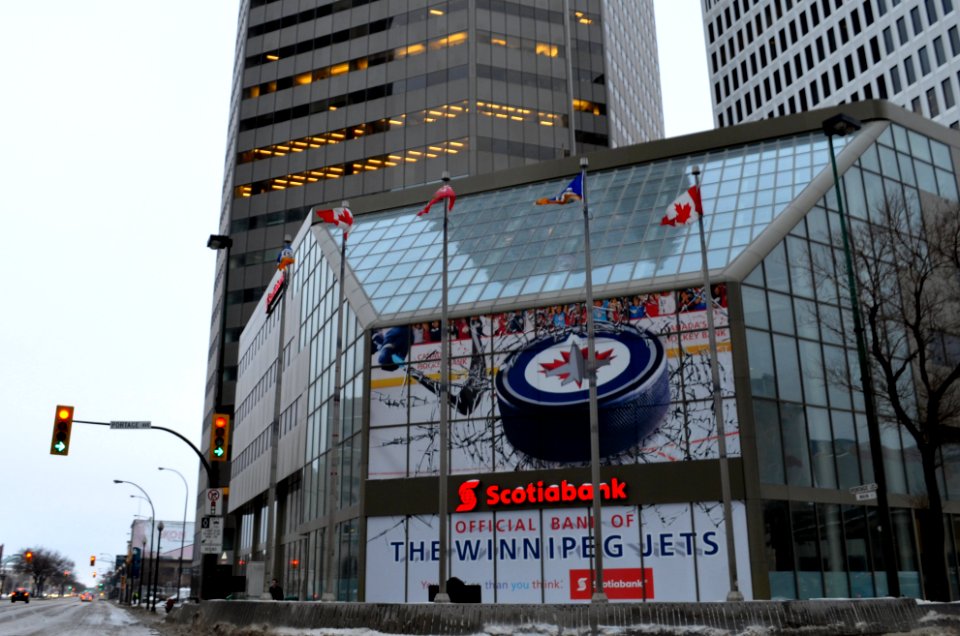
cityscape
city
self-published work
pages with maps
maps in the rijksmuseum amsterdam
dutch baroque architecture
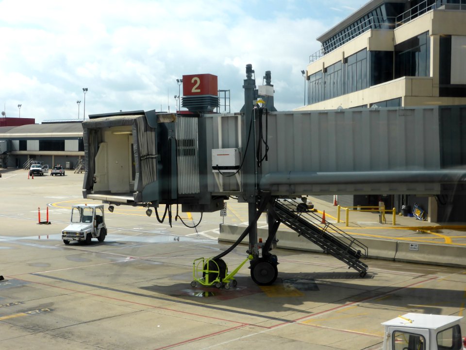
aircraft
flight
aircraft
vehicle
aircraft
aviation
military
aircraft
architecture
maps
cartography
maps
cartography
maps
architecture
maps
cartography
maps
cartography
maps
cartography
maps
cartography
maps
3101 - 3200 of 5,541
Next page
/ 56